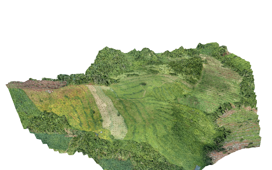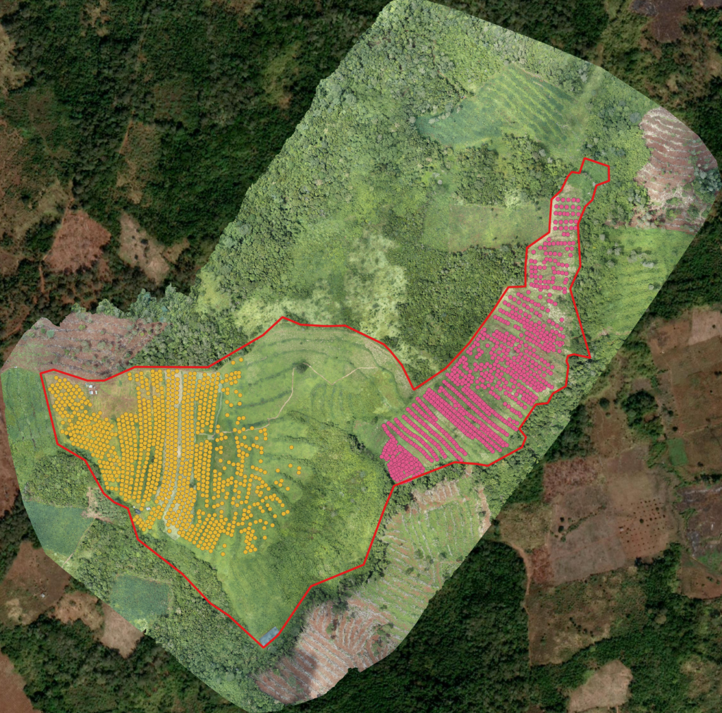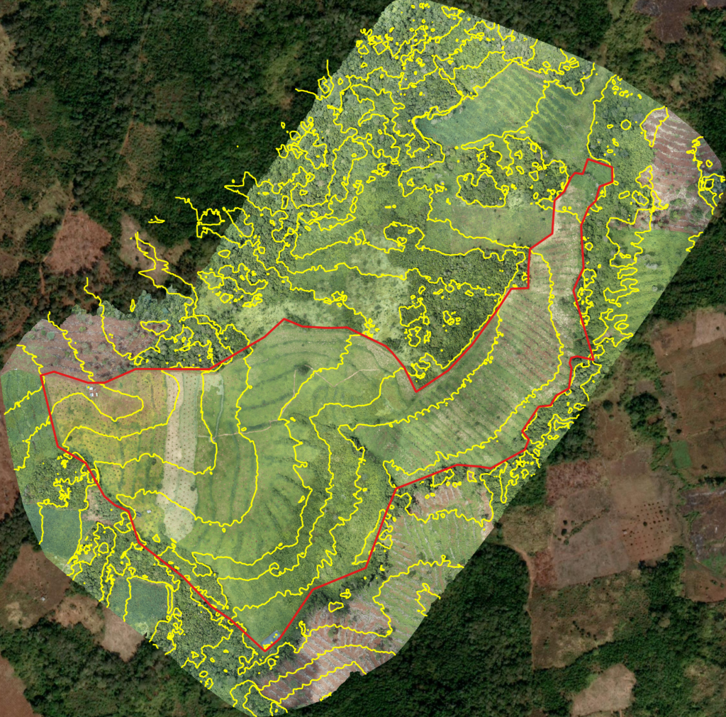

Performing Aerial Survey had never been an easy task back to the time of 10 years ago. However, low altitude aerial survey done by using UAV simplifies the survey process and lower down the costs at the same time. For the last 5 years, drone has widely been used in aerial survey.